
Pima County topographic map
Interactive map
Click on the map to display elevation.
About this map
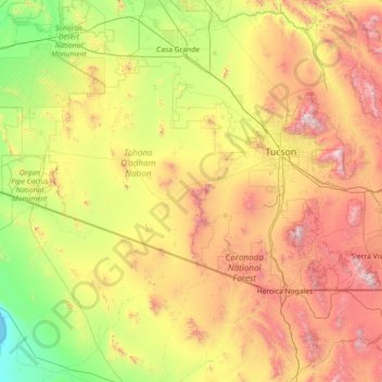
Name: Pima County topographic map, elevation, terrain.
Location: Pima County, Arizona, United States of America (31.42549 -113.33399 32.51442 -110.44732)
Average elevation: 807 m
Minimum elevation: 0 m
Maximum elevation: 2,768 m