
Lake Chad topographic map
Interactive map
Click on the map to display elevation.
About this map
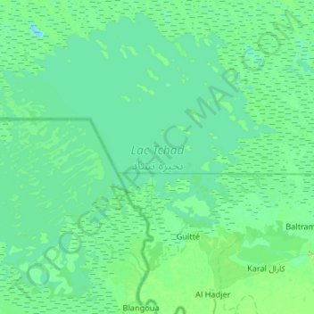
Name: Lake Chad topographic map, elevation, terrain.
Location: Lake Chad, Hadjer-Lamis, Chad (12.78275 14.25009 13.25896 14.77822)
Average elevation: 282 m
Minimum elevation: 274 m
Maximum elevation: 335 m