
Belle River topographic map
Interactive map
Click on the map to display elevation.
About this map
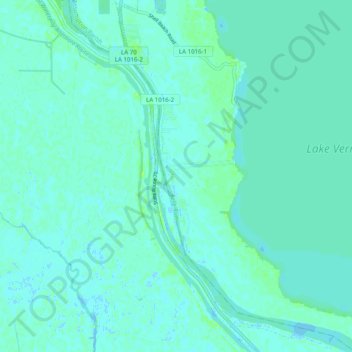
Name: Belle River topographic map, elevation, terrain.
Location: Belle River, Assumption Parish, Louisiana, 70339, USA (29.83735 -91.23260 29.92311 -91.15165)
Average elevation: 3 m
Minimum elevation: -2 m
Maximum elevation: 10 m
Other topographic maps
Click on a map to view its topography, its elevation and its terrain.