
Gumel topographic map
Interactive map
Click on the map to display elevation.
About this map
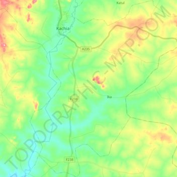
Name: Gumel topographic map, elevation, terrain.
Location: Gumel, Kachia, Kaduna, Nigeria (9.71856 7.92215 9.90031 8.08991)
Average elevation: 732 m
Minimum elevation: 676 m
Maximum elevation: 844 m