
Poti topographic map
Interactive map
Click on the map to display elevation.
About this map
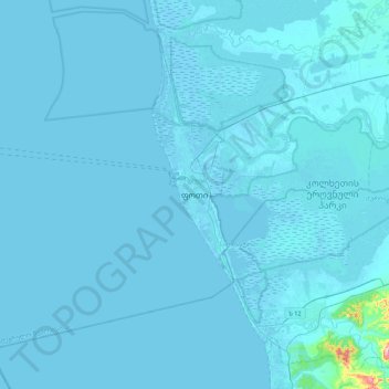
Name: Poti topographic map, elevation, terrain.
Location: Poti, Samegrelo-Upper Svaneti, 4400, Georgia (41.98161 41.51480 42.30161 41.83480)
Average elevation: 4 m
Minimum elevation: -3 m
Maximum elevation: 239 m