
Rigachikun topographic map
Interactive map
Click on the map to display elevation.
About this map
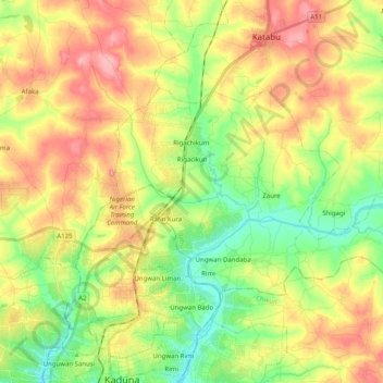
Name: Rigachikun topographic map, elevation, terrain.
Location: Rigachikun, Igabi, Kaduna, Nigeria (10.56163 7.43188 10.66828 7.63232)
Average elevation: 624 m
Minimum elevation: 578 m
Maximum elevation: 676 m