
Arad topographic map
Interactive map
Click on the map to display elevation.
About this map
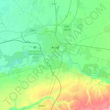
Name: Arad topographic map, elevation, terrain.
Location: Arad, Romania (46.06019 21.15136 46.26182 21.41468)
Average elevation: 118 m
Minimum elevation: 96 m
Maximum elevation: 177 m