
Kainji Lake topographic map
Interactive map
Click on the map to display elevation.
Kainji Lake
Only the Borgu (western) sector is currently used for tourism; the Zugurma (eastern) sector lacks infrastructure, including access roads. The topography of the park is gently undulating with a general decrease in elevation from west to east. The Borgu sector is drained mainly by the Oli, Timo and Doro rivers and their tributaries, while the Zugurma sector is drained by the Maingyara and Nuwa Tizururu rivers. The vegetation of the park is typical of the Guinean forest-savanna mosaic, although in some areas it appears more Sahelian. Riparian forests occur on the banks of the larger watercourses.
About this map
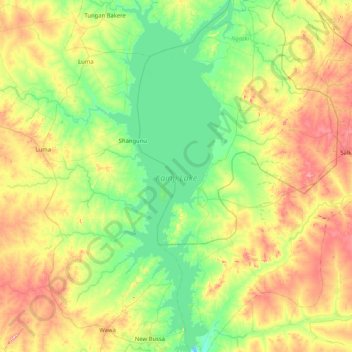
Name: Kainji Lake topographic map, elevation, terrain.
Location: Kainji Lake, Ngaski, Kebbi State, Nigeria (9.84996 4.36919 10.66403 4.70529)
Average elevation: 201 m
Minimum elevation: 113 m
Maximum elevation: 378 m