
Koto Qupar topographic map
Interactive map
Click on the map to display elevation.
About this map
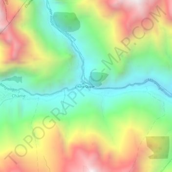
Name: Koto Qupar topographic map, elevation, terrain.
Location: Koto Qupar, Chame, Manang, Gandaki Pradesh, Nepal (28.53293 84.24022 28.57293 84.28022)
Average elevation: 3,199 m
Minimum elevation: 2,516 m
Maximum elevation: 4,173 m