
Sango-Otta topographic map
Interactive map
Click on the map to display elevation.
About this map
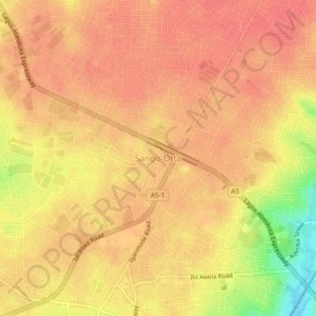
Name: Sango-Otta topographic map, elevation, terrain.
Location: Sango-Otta, Ado Odo/Ota, Ogun, 2340, Nigeria (6.68665 3.22037 6.72665 3.26037)
Average elevation: 68 m
Minimum elevation: 20 m
Maximum elevation: 84 m