
Dotsa topographic map
Interactive map
Click on the map to display elevation.
About this map
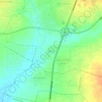
Name: Dotsa topographic map, elevation, terrain.
Location: Dotsa, Naibawa, Kumbotso, Kano, Nigeria (11.88700 8.52152 11.92700 8.56152)
Average elevation: 454 m
Minimum elevation: 439 m
Maximum elevation: 473 m