
Tall Znoub topographic map
Interactive map
Click on the map to display elevation.
About this map
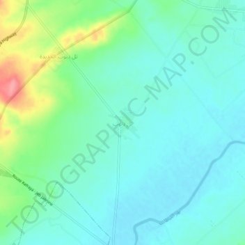
Name: Tall Znoub topographic map, elevation, terrain.
Location: Tall Znoub, Western Beqaa District, Beqaa Governorate, Lebanon (33.64154 35.75871 33.68154 35.79871)
Average elevation: 879 m
Minimum elevation: 857 m
Maximum elevation: 948 m