
Udi topographic map
Interactive map
Click on the map to display elevation.
About this map
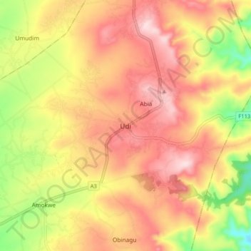
Name: Udi topographic map, elevation, terrain.
Location: Udi, Enugu State, Nigeria (6.28273 7.35785 6.36273 7.43785)
Average elevation: 371 m
Minimum elevation: 198 m
Maximum elevation: 495 m
Other topographic maps
Click on a map to view its topography, its elevation and its terrain.