
Itoku topographic map
Interactive map
Click on the map to display elevation.
About this map
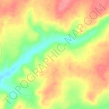
Name: Itoku topographic map, elevation, terrain.
Location: Itoku, Obafemi Owode, Ogun, Nigeria (6.96333 3.38000 7.00333 3.42000)
Average elevation: 69 m
Minimum elevation: 21 m
Maximum elevation: 105 m