
Gwantu topographic map
Interactive map
Click on the map to display elevation.
About this map
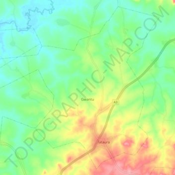
Name: Gwantu topographic map, elevation, terrain.
Location: Gwantu, Sanga, Kaduna, Nigeria (9.21365 8.39700 9.29904 8.49004)
Average elevation: 505 m
Minimum elevation: 469 m
Maximum elevation: 567 m