
Kure topographic map
Interactive map
Click on the map to display elevation.
About this map
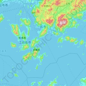
Name: Kure topographic map, elevation, terrain.
Location: Kure, Hiroshima Prefecture, Japan (34.00762 132.39574 34.33324 132.88068)
Average elevation: 61 m
Minimum elevation: -4 m
Maximum elevation: 834 m