
Akure Forest Reserve topographic map
Interactive map
Click on the map to display elevation.
About this map
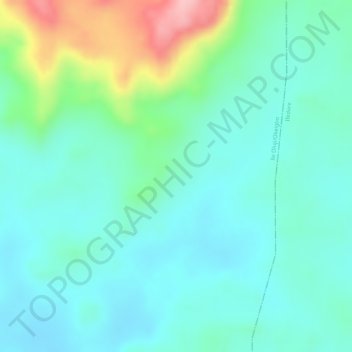
Name: Akure Forest Reserve topographic map, elevation, terrain.
Location: Akure Forest Reserve, Ile Oluji/Okeigbo, Ondo, Nigeria (7.29422 5.03436 7.29432 5.03446)
Average elevation: 313 m
Minimum elevation: 269 m
Maximum elevation: 439 m