
Amassoma topographic map
Interactive map
Click on the map to display elevation.
About this map
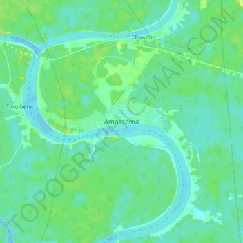
Name: Amassoma topographic map, elevation, terrain.
Location: Amassoma, Southern Ijaw, Bayelsa State, Nigeria (4.92988 6.06907 5.00988 6.14907)
Average elevation: 7 m
Minimum elevation: -3 m
Maximum elevation: 21 m