
San Bartolomé topographic map
Interactive map
Click on the map to display elevation.
About this map
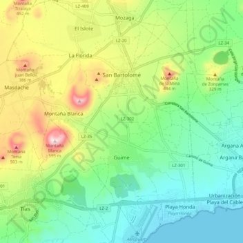
Name: San Bartolomé topographic map, elevation, terrain.
Location: San Bartolomé, Las Palmas, Canary Islands, Spain (28.94225 -13.65954 29.02692 -13.58323)
Average elevation: 192 m
Minimum elevation: 0 m
Maximum elevation: 581 m