
El Ventorrillo topographic map
Interactive map
Click on the map to display elevation.
About this map
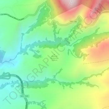
Name: El Ventorrillo topographic map, elevation, terrain.
Location: El Ventorrillo, Ixtapaluca, Mexico (19.32222 -98.78545 19.32232 -98.78535)
Average elevation: 2,695 m
Minimum elevation: 2,477 m
Maximum elevation: 3,020 m