
Ma Liu Village topographic map
Interactive map
Click on the map to display elevation.
About this map
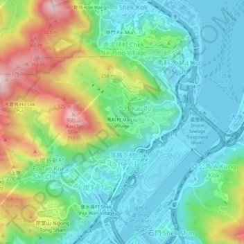
Name: Ma Liu Village topographic map, elevation, terrain.
Location: Ma Liu Village, Sha Tin District, Hong Kong, DD176 781, PRC (22.38778 114.18034 22.42778 114.22034)
Average elevation: 116 m
Minimum elevation: -4 m
Maximum elevation: 389 m