
Valiasr topographic map
Interactive map
Click on the map to display elevation.
About this map
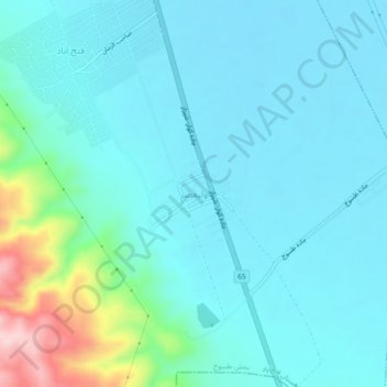
Name: Valiasr topographic map, elevation, terrain.
Location: Valiasr, بخش طسوج, Kavar County, Fars Province, Iran (29.23880 52.64707 29.27880 52.68707)
Average elevation: 1,548 m
Minimum elevation: 1,507 m
Maximum elevation: 1,756 m