
Snap-ind topographic map
Interactive map
Click on the map to display elevation.
About this map
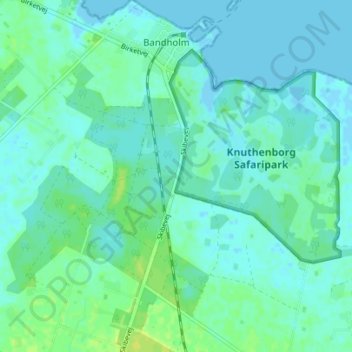
Name: Snap-ind topographic map, elevation, terrain.
Location: Snap-ind, Lolland Municipality, Region Zealand, 4941, Denmark (54.80118 11.46494 54.84118 11.50494)
Average elevation: 4 m
Minimum elevation: -3 m
Maximum elevation: 14 m