
Arden topographic map
Interactive map
Click on the map to display elevation.
About this map
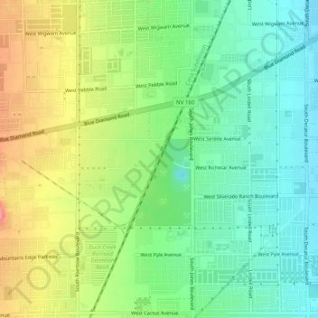
Name: Arden topographic map, elevation, terrain.
Location: Arden, Clark County, Nevada, 89141, USA (35.99803 -115.25083 36.03803 -115.21083)
Average elevation: 759 m
Minimum elevation: 722 m
Maximum elevation: 818 m