
Pepinster topographic map
Interactive map
Click on the map to display elevation.
About this map
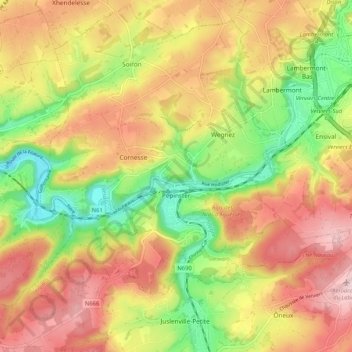
Name: Pepinster topographic map, elevation, terrain.
Location: Pepinster, Verviers, Liège, Wallonia, 4860, Belgium (50.53890 5.75145 50.60337 5.85542)
Average elevation: 232 m
Minimum elevation: 107 m
Maximum elevation: 346 m