
Vista topographic map
Interactive map
Click on the map to display elevation.
About this map
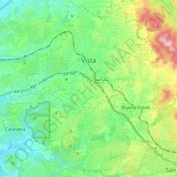
Name: Vista topographic map, elevation, terrain.
Location: Vista, San Diego County, California, USA (33.13110 -117.28825 33.23889 -117.19269)
Average elevation: 140 m
Minimum elevation: 5 m
Maximum elevation: 488 m