
Menegai topographic map
Interactive map
Click on the map to display elevation.
About this map
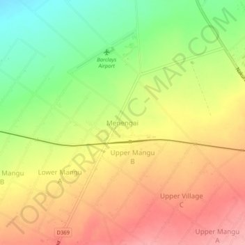
Name: Menegai topographic map, elevation, terrain.
Location: Menegai, Nakuru, Kenya (-0.22153 35.94470 -0.18153 35.98470)
Average elevation: 1,966 m
Minimum elevation: 1,897 m
Maximum elevation: 2,024 m