
San Damiano Macra topographic map
Interactive map
Click on the map to display elevation.
About this map
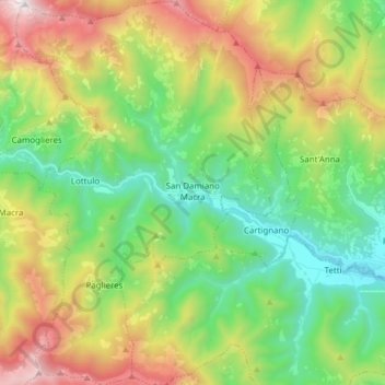
Name: San Damiano Macra topographic map, elevation, terrain.
Location: San Damiano Macra, CN, Piemont, Italy (44.43438 7.18901 44.54379 7.29078)
Average elevation: 1,258 m
Minimum elevation: 618 m
Maximum elevation: 2,393 m