
Castillo topographic map
Interactive map
Click on the map to display elevation.
About this map
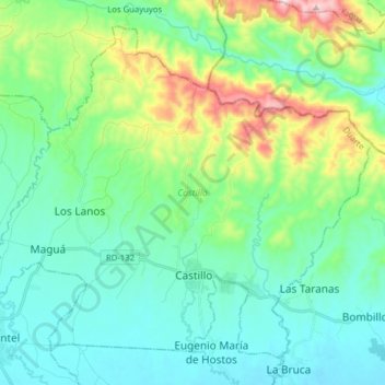
Name: Castillo topographic map, elevation, terrain.
Location: Castillo, Duarte, D.R. (19.17611 -70.11199 19.30434 -69.95506)
Average elevation: 139 m
Minimum elevation: 16 m
Maximum elevation: 547 m