
Perl topographic map
Interactive map
Click on the map to display elevation.
About this map
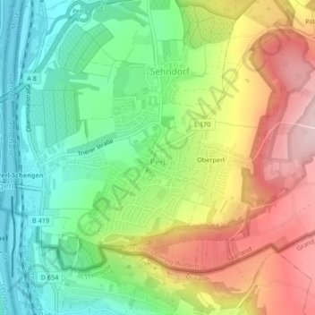
Name: Perl topographic map, elevation, terrain.
Location: Perl, Landkreis Merzig-Wadern, Saarland, Germany (49.46415 6.36835 49.48373 6.39522)
Average elevation: 248 m
Minimum elevation: 138 m
Maximum elevation: 396 m