
Pachacutec topographic map
Interactive map
Click on the map to display elevation.
About this map
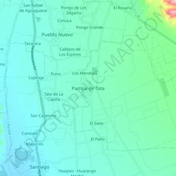
Name: Pachacutec topographic map, elevation, terrain.
Location: Pachacutec, Ica, Peru (-14.19187 -75.73137 -14.11187 -75.65137)
Average elevation: 408 m
Minimum elevation: 367 m
Maximum elevation: 651 m