
龙登村 topographic map
Interactive map
Click on the map to display elevation.
About this map
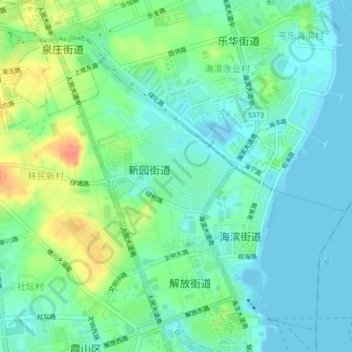
Name: 龙登村 topographic map, elevation, terrain.
Location: 龙登村, Xiashan District, Zhanjiang City, Guangdong, PRC (21.19370 110.38441 21.23370 110.42441)
Average elevation: 14 m
Minimum elevation: -9 m
Maximum elevation: 45 m