
Kunchi topographic map
Interactive map
Click on the map to display elevation.
About this map
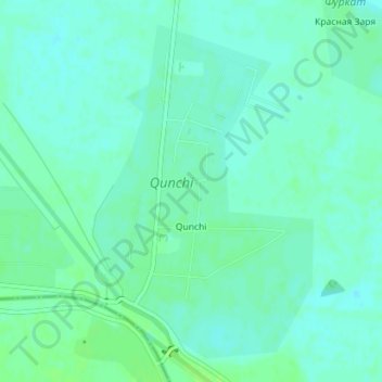
Name: Kunchi topographic map, elevation, terrain.
Location: Kunchi, Boyowut Tumani, Sirdaryo Region, Uzbekistan (40.46396 69.04673 40.48760 69.06741)
Average elevation: 280 m
Minimum elevation: 276 m
Maximum elevation: 285 m