
McLean topographic map
Interactive map
Click on the map to display elevation.
About this map
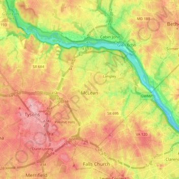
Name: McLean topographic map, elevation, terrain.
Location: McLean, Fairfax County, Virginia, USA (38.89323 -77.23304 38.97027 -77.11977)
Average elevation: 89 m
Minimum elevation: 2 m
Maximum elevation: 164 m