
Lurín topographic map
Interactive map
Click on the map to display elevation.
About this map
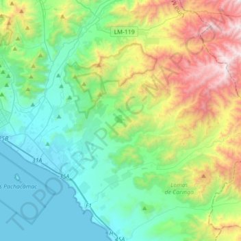
Name: Lurín topographic map, elevation, terrain.
Location: Lurín, Province of Lima, Lima, 15842, Peru (-12.31252 -76.93986 -12.16441 -76.66203)
Average elevation: 513 m
Minimum elevation: 0 m
Maximum elevation: 1,878 m