
Omidieh County topographic map
Interactive map
Click on the map to display elevation.
About this map
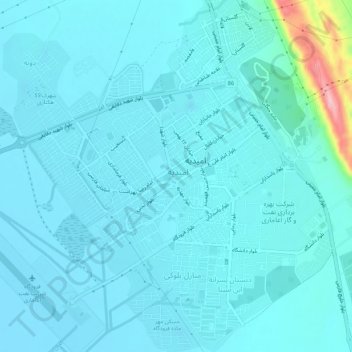
Name: Omidieh County topographic map, elevation, terrain.
Location: امیدیه, بخش مرکزی, Omidieh County, Khuzestan Province, Iran (30.73419 49.67654 30.77968 49.72431)
Average elevation: 33 m
Minimum elevation: 14 m
Maximum elevation: 205 m