
Anambra River topographic map
Interactive map
Click on the map to display elevation.
About this map
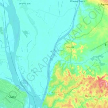
Name: Anambra River topographic map, elevation, terrain.
Average elevation: 46 m
Minimum elevation: 12 m
Maximum elevation: 200 m
Other topographic maps
Click on a map to view its topography, its elevation and its terrain.
Otuocha
Nigeria > Anambra State > Anambra East > Otuocha
Otuocha, Anambra East, Anambra State, Nigeria
Average elevation: 43 m