
Paung Township topographic map
Interactive map
Click on the map to display elevation.
About this map
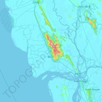
Name: Paung Township topographic map, elevation, terrain.
Location: Paung Township, Thaton District, Mon, Myanmar (16.48466 97.06695 16.81658 97.64850)
Average elevation: 19 m
Minimum elevation: -3 m
Maximum elevation: 899 m