
Gada topographic map
Interactive map
Click on the map to display elevation.
About this map
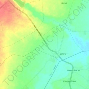
Name: Gada topographic map, elevation, terrain.
Location: Gada, Kazaure, Jigawa, Nigeria (12.58341 8.39322 12.62369 8.48183)
Average elevation: 433 m
Minimum elevation: 413 m
Maximum elevation: 465 m