
Penicuik topographic map
Interactive map
Click on the map to display elevation.
About this map
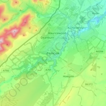
Name: Penicuik topographic map, elevation, terrain.
Location: Penicuik, Midlothian, Scotland, EH26 8LE, United Kingdom (55.78743 -3.26121 55.86743 -3.18121)
Average elevation: 247 m
Minimum elevation: 101 m
Maximum elevation: 579 m