
保康镇 topographic map
Interactive map
Click on the map to display elevation.
About this map
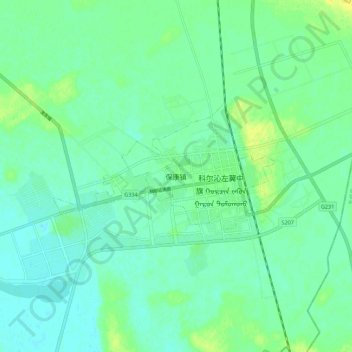
Name: 保康镇 topographic map, elevation, terrain.
Location: 保康镇, 通辽市, 内蒙古自治区, 中国 (44.08600 123.25935 44.16600 123.33935)
Average elevation: 148 m
Minimum elevation: 141 m
Maximum elevation: 161 m
Other topographic maps
Click on a map to view its topography, its elevation and its terrain.