
Wayland topographic map
Interactive map
Click on the map to display elevation.
About this map
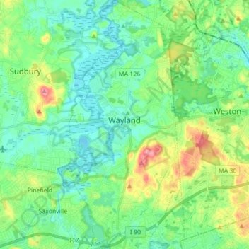
Name: Wayland topographic map, elevation, terrain.
Location: Wayland, Middlesex County, Massachusetts, USA (42.30989 -71.39811 42.41271 -71.32876)
Average elevation: 56 m
Minimum elevation: 30 m
Maximum elevation: 121 m