
Leakesville topographic map
Interactive map
Click on the map to display elevation.
About this map
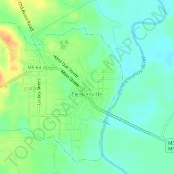
Name: Leakesville topographic map, elevation, terrain.
Location: Leakesville, Greene County, Mississippi, United States (31.14261 -88.56995 31.16589 -88.54504)
Average elevation: 31 m
Minimum elevation: 17 m
Maximum elevation: 55 m