Geolocate
👉 Easily get elevation data in JSON, GeoTIFF and KML formats using Elevation API
Thank you for supporting this site ❤️
Make a donation

Isolo topographic map

Click on the map to display elevation.

👉 Easily get elevation data in JSON, GeoTIFF and KML formats using Elevation API
Thank you for supporting this site ❤️
Make a donation

About this map

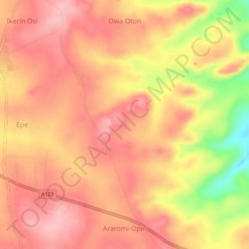
Name: Isolo topographic map, elevation, terrain.

Location: Isolo, Ekiti, Kwara State, Nigeria (8.06333 5.23000 8.10333 5.27000)

Average elevation: 497 m

Minimum elevation: 396 m

Maximum elevation: 542 m