
Thank you for supporting this site ❤️
Make a donation
Make a donation
Blyth topographic map
Click on the map to display elevation.
Thank you for supporting this site ❤️
Make a donation
Make a donation
About this map
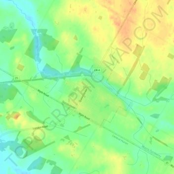
Name: Blyth topographic map, elevation, terrain.
Location: Blyth, North Huron, Huron County, Ontario, N0M 1H0, Canada (43.71660 -81.44940 43.75660 -81.40940)
Average elevation: 329 m
Minimum elevation: 310 m
Maximum elevation: 348 m
Thank you for supporting this site ❤️
Make a donation
Make a donation