
Thank you for supporting this site ❤️
Make a donation
Make a donation
Piloñeta topographic map
Click on the map to display elevation.
Thank you for supporting this site ❤️
Make a donation
Make a donation
About this map
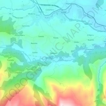
Name: Piloñeta topographic map, elevation, terrain.
Location: Piloñeta, Nava, Asturias, 33520, España (43.32479 -5.52265 43.36479 -5.48265)
Average elevation: 363 m
Minimum elevation: 215 m
Maximum elevation: 804 m
Thank you for supporting this site ❤️
Make a donation
Make a donation