
Pavlodar Province topographic map
Interactive map
Click on the map to display elevation.
About this map
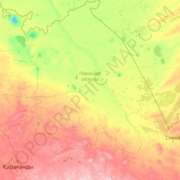
Name: Pavlodar Province topographic map, elevation, terrain.
Location: Pavlodar Province, Kazakhstan (49.25115 73.86853 54.37115 78.98853)
Average elevation: 269 m
Minimum elevation: 26 m
Maximum elevation: 1,293 m