
独龙江 topographic map
Interactive map
Click on the map to display elevation.
About this map
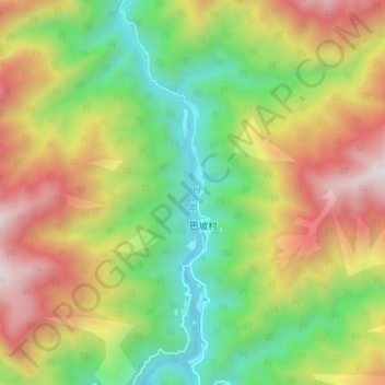
Name: 独龙江 topographic map, elevation, terrain.
Location: 独龙江, 独龙江乡, 贡山独龙族怒族自治县, 怒江傈僳族自治州, 云南省, 中国 (27.71028 98.33312 27.77916 98.34914)
Average elevation: 2,018 m
Minimum elevation: 1,308 m
Maximum elevation: 2,953 m
Other topographic maps
Click on a map to view its topography, its elevation and its terrain.