
Thank you for supporting this site ❤️
Make a donation
Make a donation
Great Guana Cay topographic map
Click on the map to display elevation.
Thank you for supporting this site ❤️
Make a donation
Make a donation
About this map
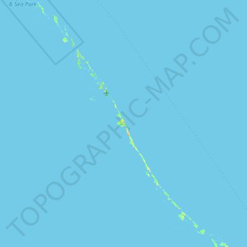
Name: Great Guana Cay topographic map, elevation, terrain.
Location: Great Guana Cay, Black Point, Bahamas (23.76882 -76.71116 24.40882 -76.07116)
Average elevation: 0 m
Minimum elevation: 0 m
Maximum elevation: 29 m
Thank you for supporting this site ❤️
Make a donation
Make a donation