
Thank you for supporting this site ❤️
Make a donation
Make a donation
Jackfish Lake topographic map
Click on the map to display elevation.
Thank you for supporting this site ❤️
Make a donation
Make a donation
About this map
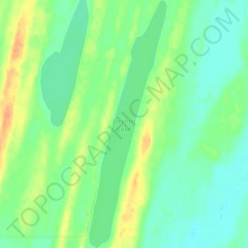
Name: Jackfish Lake topographic map, elevation, terrain.
Location: Jackfish Lake, Athabasca County, Alberta, Canada (54.78924 -113.10603 54.83446 -113.08141)
Average elevation: 606 m
Minimum elevation: 593 m
Maximum elevation: 629 m
Thank you for supporting this site ❤️
Make a donation
Make a donation
Other topographic maps
Click on a map to view its topography, its elevation and its terrain.